Book your 2026 & 2027 adventures Risk free.
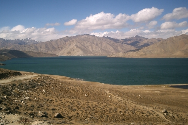


ROUTE: DUSHANBE-KYLYAB-KHORUG-ISHKASHIM-JELONDI-DUSHANBE
1. DAY DUSHANBE.
Transfer from airport Dushanbe to hotel.
Breakfast. Sightseeing city. Museum Behzod, museum of Tajik history
Lunch at National Chayhana Rohat
Excursion in outside city (30km) fortress of Gissar 18 centuries. The Gissar fortress — a palace of one of king of Bukhara emirates. The fortress with walls in the thickness of 1 m, with loopholes for guns and guns towered on a slope of a high hill and was protected by guards. Inside there was a pool and a garden. Opposite to a fortress the market square with a caravansary and set of benches rustled. A number of legends is connected with the Gissar fortress. On one of them the fortress was constructed by Afrosiab for protection against Rustam (the glorified heroes of poet Firdousi «Shahname). Other legend says that just Caliph Ali has arrived to these places with horse of Dul-dul to preach Islam and has stopped on a grief which carries today the name Give to drink-dul-dul (to the West from Gissar). Under the pretext of the acrobat-rope-walker it has made the way from mountain in a fortress, but here has been learned and captivated. But its faithful horse has brought to it a sword of Zulfikar. By means of this sword it has exterminated all enemies, including the malicious wizard who at that time owned a fortress. Near to a fortress two huge plane trees, which for 500–700 years grow.
Dinner. Overnight in hotel
2 DAY DUSHANBE – KALAI HUM (380km)
Breakfast.
In the way excursion on fortress Hulbuk.
The ancient fortress and site of ancient settlement of Hulbuk is in Vose district of Hatlon region in settlement Kurbonshaid. The huge territory in IX century between Vahshem and Pjandzhem was occupied with area of Huttal. During the most ancient period of the history of Huttal was a part of Bactria. Anybody from medieval geographers doesn't give exact geographical border of Huttal. The city of Hulbuk which has „disappeared“ for any reasons after XII century was area capital at that time. Long-term archeological excavations and researches have confirmed, what exactly on this hill, in center Hulbuk, and the palace of the local governor settled down. Originally walls and ceilings have been ornated by a carving on alabaster, wall painting in the form of images of soldiers, musicians and musical instruments
During excavation it was found out that in an ancient city there was a sewer system in the form of deep (to 6) garbage holes, brick channels and ceramic pipes. Except sewer pipes, in all ends of a city have been found out also water pipes (diameter about 60 sm, length from 80 to 100 sm) that testifies to presence already at that time in the capital, the centralized system of water supply. And ancient governors didn't forget about heating. At excavation heating systems of several types have been found out. Coins have been found in one of garbage holes of an ancient city, чеканенныеfrom a name газневидскогоsovereign Masuda (1030-1041) and хульбукскиеchess. The further excavation has shown that under a palace concerning by XI century, there are constructions of earlier construction, that is, one palace is constructed on ruins of another.
Lunch in Kulyab city.
Drive to Kalai Hum. This region is much more strongly Muslim and this can be seen in the conservative dress and beards. Over a mountain pass to Kalaikhum and the scenery and people change again. Here the people are Pamirs, not Tajiks, a number of separate tribal groups with their own languages. Overnight in guesthouse.
3 DAYS. KALAI HUM – HOROG (240km)
Breakfast. Drive to Khorog.
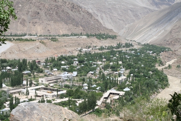
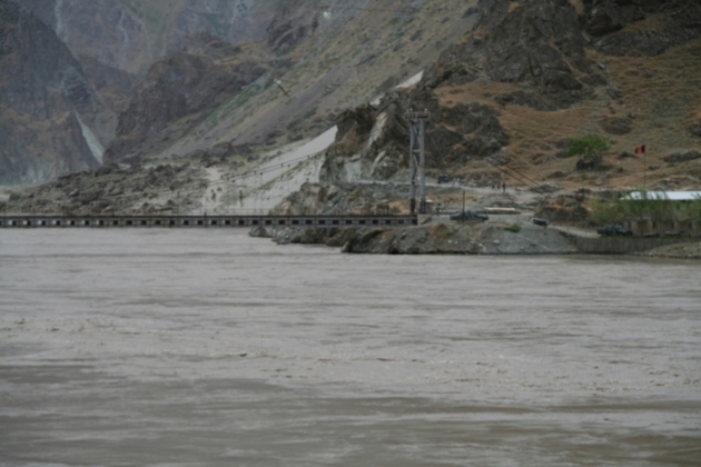
Follow the fascinating road along the Afghan border. On the Tajik side, the road is asphalted and buildings have metal and glass in their construction. On the Afghan side, about 100m away, everything is mud, wood and donkey tracks.
Lunch in the way.
City tour: city museum, botanic guards, bazaar.
Dinner. Overnight in hotel.
4 DAY. KHOROG – village YAMG. (220km
Breakfast.
In the way excursion Garmchashma.
It is situated on the right shore of the river Garmchashma and upper part of the valley settlement of Garmchashma district. It takes its beginning from lime rock there is the altar, connected with the origin of the source, and which is protected with wall and makes its way through earth and rocks, forming a pool. In the upper pool it reaches +60C, flows down on ledge cools of until +40C. The water of this source is effective during the treatment of skin disease, joint disease, rheumatism and ridiculed. There are small mountain caves in the Eastern part of the source.
The fortress of Kakh-Kakh and sanctuary of sanctuary of Shohi Mardon.
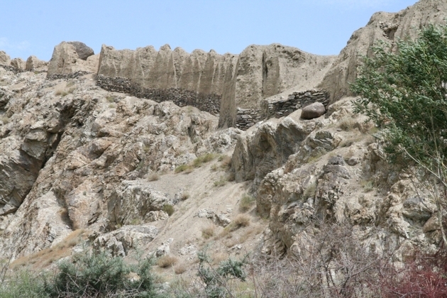
It is situated on the bank of the river Panj, on the isolated rocky height, stretched out along the river 1km east from the settlement of lower Namadgut. The length of the fortress from West to east is 675m, from South to North-220m. it is protected by double layers of walls, fortified with 56 towers of round shapes with loopholes. The foundation of walls and towers built from west to east protected by double layers of walls, with loopholes. The entrance to the fortress is from the west side. The foundation of walls and towers build from stones, the main part of walls-are composed from land blocks. The base of the fortress refer to cushion period of the 2 century before Christ as a defensive building the fortress served until 7 century according to the legends, the emperor of this fortress was the tsar of siyohpushon kakh-kakh.
The house-museum of Muboraki Vakhani and his stony calendar
It is situated in the village of Yamg jamoat of Vrang. Muborake Vakhoni (1842-1902) was one the popular thinkers, well-educated and talented person. He was a philosopher, poet, musician, astronomer artificial master, religious expert, theologian-sufi. Sometimeshe was called Leonardo da Vinci from Yamga. With the help of his calendar he precisely defined the day of vernal equinox (the 21st of March) Navruz (New Year)
The fortress Yamchun and the Holy spring of Bibi Fotima
The fortress and spring are situated above the village of Yamchun, on a stony inclination, in gorge and the river Yamchun. The fortress consists of two grounds, The first takes the whole part of the cliff. The distance from north to south is 450m. The wall of the fortress is fortified with 22 rounds in towers with loopholes. The second ground, from south east side, tetragonal shape. (150*200). The fortress refers to Kushan period. It was built in 8-1 centuries Before Christ.
Kelis and Buddhist monastery:
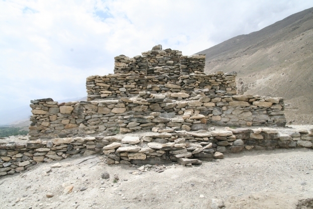
Kelis are located on a perpendicular slope of the first, right terrace of the river Panj in Vrang. They were dig up in conglomerates. The arched accommodations rounded in plan, with aroched exits (3-4 diametr, hight 1,2-2,2m). Above Kelis in height on moraine is disposed Buddhist monastery and fortified the settlement. This place is discovered in 6-7 century. The ground of Buddhist monastery fenced with stone walls (the height is about 180m, width until 1m). The inside central place is a three stepped mortar (12x12m, 8,8m, 4.4m)
Stone pictures of Langar Kisht and sanctuary of Shoh Qambary Oftob
The stone pictures began from north settlement of Langar and drawn intil south slopes of Shohdara range. The main part concentrated in the valley of the river Hangar-daryo (the right anflow of the river Panj on a 2700-3500mm above the feet of sea level) The quantity of the pictures are about 600 of mountain goats and other it is represented wild animals scene of hunting, horsemen, different forms of tamgi, signs circles, portrayed rubabs ect, pictures are dated in different periods, epoch of bronze 1 thous B.C. Kushan-Efyalit period until appearing of Muslim religions, 11-12 centure.
The sanctuary of Shoh Qambary Oftob is situated on the territory of the settlement of Langar among population are many legends about saint Shoh Qambari Oftob.
Dinner. Overnight in guest house.
5. DAY. YAMG- JELONDI (through pass Khargushi 4000m ) (165km)
Breakfast. Drive to Jelondi through pass Hargushi.
In the way excursion to fortified settlement of Ratm and caravansary the way of Silk Road.
Settlement of Ratm situated above sharp precipice to the deep canon on the right bank of the river Panj, 3-4km north-east of the village Langar. The settlement fenced in walls, fortified by 4 quarrangular towers. Inside were built interconnecting rooms. The settlement was dated in 3-2 centuries to 7-8 B.C.
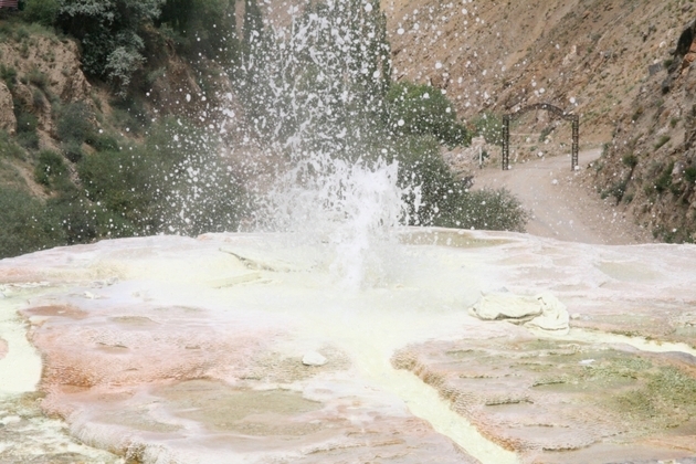
Lunch in the Jelondi. Excursion in hot spring Jelondi. The water have 90C temperature
Dinner. Overnight in guest house
6. DAY. JELONDI-KALAI HUM (340 km)
Breakfast.
Lunch in the way
Dinner. Overnight in Kalai hum
7 DAY. KALAI HUM – TAVILDARA-DUSHANBE (280km)
Transfer to the airport. (According to airlines)


